
Tucker Neighbor Lookup Sources
The immediate block can be studied through public parcel geometry, appraisal profiles, recorded deeds, and limited civic sources. Start with the DeKalb GIS Hub, keep parcel outlines visible, and click only the lots within the chosen block. An owner's name is evidence of title, not proof that the owner or anyone else lives there. Define the radius before searching so “neighbor” does not expand without a clear reason.
| Source | What It Shows About a Block | Access |
|---|---|---|
| DeKalb GIS parcel viewer | Target, abutting, and opposite parcels | Free map and open-data entry |
| Property appraisal profile | Owner, situs, mailing address, parcel facts | Free owner, address, or parcel search |
| Georgia voter file | Authorized street and geography fields | Paid order with legal limits |
| Tucker civic organizations | Public contacts and community context | Organization pages, not household rolls |
| Reverse directories | Past occupants in street-number order | Library or archives access |
The appraisal roll can show a remote mailing address, trust, estate, or business. A homestead flag may support owner occupancy but does not name a whole household. Renters and family members can be absent. Keep “assessed owner” in the notes unless a separate record supports a resident claim.
Set a Tucker Block Boundary
Decide whether the search includes only parcels that share a boundary, those across the road, or a fixed radius. Across-the-street parcels are a separate choice because roads and irregular lots can make a visual block misleading. Record the target parcel ID and tax district first. Then save each nearby parcel ID before opening its appraisal profile.
Tucker has an official example of a radius with a limited purpose. For some land-use neighborhood meetings, city staff can supply an address list within 500 feet, and notice letters must go out at least 14 calendar days before the meeting. That list exists for notice compliance. It is not a general directory of Tucker neighbors.
Click Tucker's Adjacent Parcels
The block process is short, but each step matters. Search the target address or parcel ID, click its polygon, and note the parcel ID and tax district. Keep outlines visible while selecting lots that physically abut it. Click parcels opposite the road only if that scope was chosen. For each lot, open the DeKalb appraisal profile and record the official owner and mailing address as ownership and tax evidence.
- Verify the target situs and parcel ID.
- Mark touching parcels before crossing the street.
- Open each parcel's appraisal profile.
- Separate assessed owner from an occupant claim.
- Use deeds and plats when a boundary matters.
GIS is informational and does not decide an encroachment or legal boundary. Obtain the recorded deed or plat and a licensed survey for a dispute. The broader named-road method belongs in the Tucker street directory.
Condo Parcels Can Mislead
County layer documentation warns that condominium units can repeat the same parcel geometry. One polygon may correspond to several unit records, not one owner. Check the unit, parcel ID, situs line, and appraisal profile rather than counting map shapes. This Tucker neighbor-search quirk is a strong reason to keep a source log.
Mailing and situs addresses can also differ. Situs means the physical parcel; mailing address means where assessment notices go. A mismatch does not prove vacancy or identify a renter. For entity-owned property, a deed may explain title but still may not name a person living on the block.
Tucker Voter Data Limits
My Voter Page is an individual verification tool. It asks for a first initial, last name, county, and date of birth, then returns registration and election details after validation. It cannot be browsed as a street directory. A missing match does not prove that someone is not a Tucker neighbor.
Block-level fields come through the Secretary of State voter-list order. The published schedule lists $65 for a municipal file and $485 statewide. Orders may select active only or active and inactive records, plus county, municipality, district, and precinct. Electronic delivery ordinarily takes two weeks. No custom orders or refunds are offered, and commercial use is a misdemeanor under O.C.G.A. §21-2-601.
| Official tool | Best use | Key limit |
|---|---|---|
| My Voter Page | Verify one person's own registration | Needs identifying data; no street browse |
| Ordered voter file | Lawful geographic research | Fee, processing time, restricted uses |
| Parcel roll | Map assessed owners | Does not list all occupants |
Tucker Civic Groups Add Context
Community organizations can identify public contacts, meeting areas, publications, and neighborhood history. None of the inspected groups offered a verified public household roster. Use their material to understand a place, not to claim membership or residence.
Tucker Civic Association
An umbrella group with public links and community context, not a household directory.
Smoke Rise Association
Public contacts, announcements, and neighborhood history; no public member roster was verified.
Idlewood Coalition
The coalition supplies civic-area context, not resident proof.
Hearthside Club
A group listing useful for community connection, not a roll of Tucker neighbors.
The Tucker Business Association and Main Street Alliance publish business contacts. The City's Model Citizens page points to volunteer resources. These are public-facing contacts, and each has a purpose distinct from identifying households.
Compare Tucker Neighbor Sources
Official sources state who keeps the data, what the fields mean, and how to request a record. Commercial neighbor tools may merge old addresses, unrelated people, and unverified phone data. They can hide useful results behind a fee. Do not treat that category as a source of record.
| Source type | Strength | Weakness |
|---|---|---|
| GIS and appraisal rolls | Current official parcel evidence | Ownership is not occupancy |
| Recorded deeds | Cited transfers and legal description | May omit a modern address |
| Commercial compilation | May gather broad leads | Unknown updates and merged identities |
A focused records request is a better fallback when no portal has the needed city file. Tucker uses JustFOIA, while county and state offices handle their records under the Georgia Open Records Act.
Check Tucker City Jurisdiction
Tucker existed as a community long before it became a city in 2016. Annexations later changed limits around Livsey Drive, Wanda Woods, Westwood, Briarcliff Village, and Northlake. A Tucker postal label does not prove that City Hall keeps the record. Check the City of Tucker GIS applications before asking for a permit, code case, or meeting notice list.
The city's Tucker Votes address tool returns council and legislative districts. It is a district check, not a resident roll. County offices remain the custodians for parcels, deeds, and voter administration. This split prevents a common dead end.
The official Tucker staff directory is shown at the city contact page.
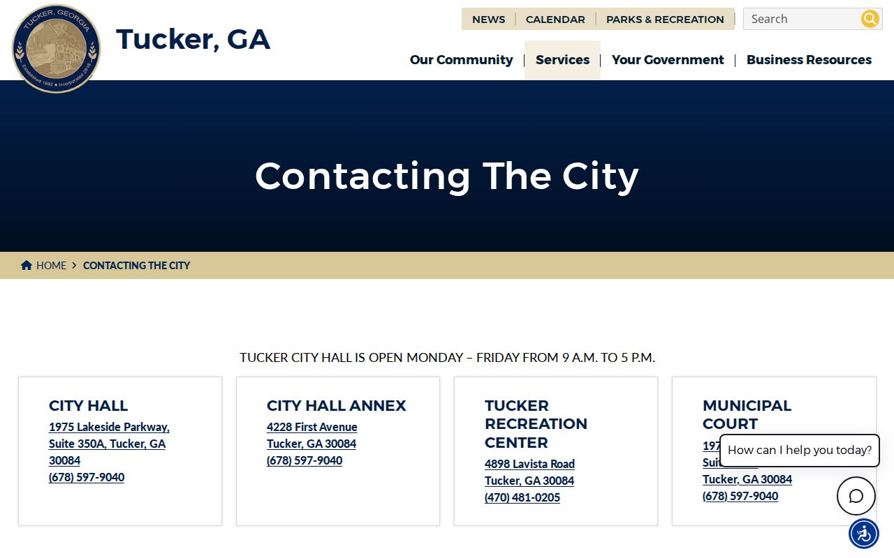
The screen helps route a city-specific request after the parcel has been confirmed inside Tucker.
Protected Tucker Addresses Stay Private
Georgia Safe at Home is an address-confidentiality program for eligible people. It took effect July 1, 2026, alongside the Georgia Consumer Privacy Protection Act. A protected or withheld address must not be reconstructed from other records. Voter, motor-vehicle, court, and vital files also contain fields that may be restricted or redacted.
The Georgia Department of Corrections query is an official statewide tool with a narrow record purpose.
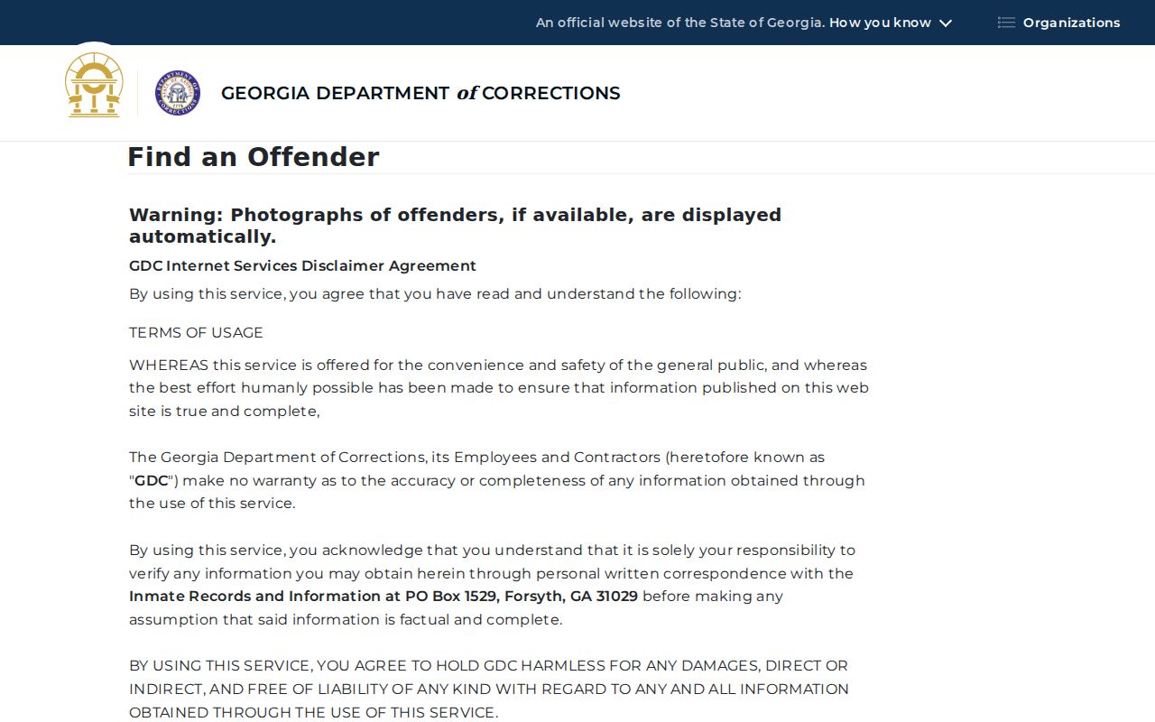
The results are not a general Tucker neighbor directory and should not be republished as one.
The Georgia Bureau of Investigation registry also states its own public-use cautions.
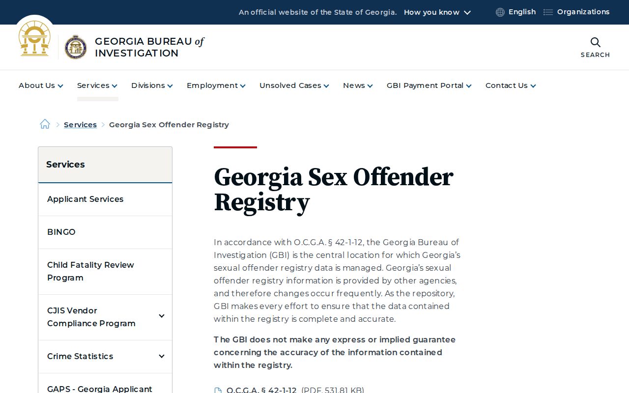
Use the registry only for its lawful safety purpose. Do not merge it with parcel data into a homemade list or use it to threaten or harass anyone.
Map Tucker Parcels Carefully
Return to the target after each nearby parcel so the map scope stays clear. Keep a table with parcel ID, situs, assessed owner, mailing-address match, and source date. This prevents a condo unit, road parcel, or distant mailing address from being mistaken for a household.
- Parcel
- A county-indexed unit of land used for assessment.
- Situs
- The physical address assigned to the parcel.
- Assessed owner
- The person or entity named on the appraisal roll, not every occupant.
- Plat
- A recorded drawing of lots, roads, and other mapped features.
Tucker Neighbor Privacy Limits
Utility accounts, delivery data, and private membership rolls are not public resident directories. Renters and household members may not appear in parcel records. Protected residents can be shielded through confidentiality rules. Do not infer identity from a vehicle, mailbox, photograph, or social post.
Neighbor records are best used for civic participation, a property question, reconnecting with consent, or personal safety. Stop when the official source ends. Do not publish a compiled block roster or expose a person who has taken steps to keep an address confidential.
Lawful use. Never use a Tucker neighbor lookup to stalk, harass, threaten, intimidate, or expose a protected person.