
Tucker ZIP Code Coverage
Tucker has one principal postal ZIP and several boundary-area ZIPs. The research does not support treating every address in all four as city land. Use the table as a starting screen, then verify the house number and street. Postal geography, community identity, and municipal limits can all differ at the same point.
| ZIP | Areas Covered | Postal Identity | Boundary Note |
|---|---|---|---|
| 30084 | Downtown and much of central or eastern Tucker | Tucker, including City Hall | The label does not prove city status |
| 30087 | Eastern and southeastern Tucker-associated areas | Stone Mountain and Smoke Rise edge | Community ties cross the line |
| 30340 | Western and Northlake-area geography | Atlanta | Partly near or within Tucker |
| 30345 | Northlake, LaVista, and Briarcliff side | Atlanta | Includes nearby annexation geography |
30084 is the right first guess for many Tucker addresses, but a ZIP code directory cannot settle incorporation. No inspected official source supplied a simple ZIP-to-city-limit overlay. Parcel-by-parcel confirmation is the sound method.
Read Tucker's 30084 Core
ZIP 30084 is Tucker's principal postal identifier. It covers downtown, many central and eastern addresses, City Hall, and the Tucker Post Office. That makes it a practical filter when a name or street is known only as Tucker. It remains a postal filter. Some places long called Tucker were outside the city map at incorporation, and a 30084 mailing line does not change that fact.
For a resident or parcel search, first confirm the full address through the Postal Service. Next, use the DeKalb appraisal profile to read situs city, ZIP, tax district, owner mailing address, and parcel ID. The City of Tucker map provides the government boundary check. This sequence separates delivery identity from land jurisdiction.
Boundary check. Treat 30084 as Tucker's postal core, then prove city status with a parcel and municipal map.
Compare Tucker Edge ZIPs
ZIP 30087 carries a Stone Mountain postal identity across eastern and southeastern places tied to Tucker and Smoke Rise. A historic record may therefore file the same household under Stone Mountain even when a family described the area as Tucker. Search both place labels, especially for directories, newspapers, school items, and older maps.
ZIPs 30340 and 30345 use Atlanta mailing names. The western edge and Northlake area illustrate why mail and city records diverge. Westwood can be municipal Tucker with a 30340 address. Much of Northlake Mall joined Tucker in 2019 while the surrounding mailing identity can remain Atlanta 30345. The latter is a clear local example of a place that can be Tucker for city government and Atlanta for delivery.
When a result appears under the “wrong” city name, compare its house number, street, parcel, subdivision, and map point before rejecting it. The disagreement may be accurate rather than an error.
Annexations Reshaped Tucker Records
Tucker incorporated in 2016. Its understood community was much older and wider than a new municipal line. Annexations soon added Livsey Drive in September 2016, Wanda Woods and Westwood in January 2017, Briarcliff Village in 2018, much of Northlake Mall in 2019, and commercial parcels along East Ponce de Leon. Those changes altered which city could create a permit, code, zoning, or municipal case record. They did not necessarily change the ZIP.
The Tucker residential annexation page documents that shifting boundary.
The annexation record explains why a newer city file and an older Atlanta or DeKalb address label can both describe the same place.
A request for post-incorporation city permits or municipal records belongs with Tucker only if the property and event were in the city at the relevant time. Deeds, appraisal, county taxes, and major DeKalb court files remain with county custodians.
Find Tucker Residents by ZIP
A ZIP-wide search begins with a verified mailing assignment, then uses official databases that actually expose ZIP fields. The DeKalb basic property page advertises parcel ID, address, and owner search rather than a simple public ZIP-only box. Parcel data itself contains site address, postal city, ZIP5, and ZIP4 fields, so records can be grouped after parcels are found. Do not claim the landing page provides a control it does not show.
- Verify the exact house number and street in the USPS ZIP lookup.
- Search DeKalb appraisal by street, address, owner, or parcel ID.
- Read the parcel's city, ZIP, tax district, situs, and mailing fields separately.
- Check the parcel against DeKalb and Tucker GIS boundaries.
- Use the correct government based on jurisdiction and record type.
- Move to the Tucker streets lookup when the ZIP has narrowed the work to a named road.
This method finds titled owners, not every occupant. Voter and business files have distinct meanings and access rules. Never merge their fields into a claim that one ZIP identifies a complete resident list.
Tucker Parcel ZIP Fields
The parcel service stores several location expressions that look similar but serve different jobs. A researcher should preserve each field as shown. Situs is the physical location used by appraisal and GIS. Mailing is where owner tax correspondence goes. The legal description identifies the land through subdivision, lot and block, land lot and district, plat, or another land description. ZIP routes mail.
| Field | What It Means | Best Use |
|---|---|---|
| Site address | Physical parcel location | Match the mapped structure |
| Postal city | Mailing locality label | Search alternate place names |
| ZIP5 | Five-digit delivery area | Group broad postal results |
| ZIP4 | Delivery segment suffix | Refine one address |
| Legal description | Recorded land identity | Bridge renamed or renumbered streets |
One parcel can validly show different situs and mailing addresses. That difference is not evidence of a false record or a resident mismatch. The Tucker GIS page shown below provides city mapping and address tools.
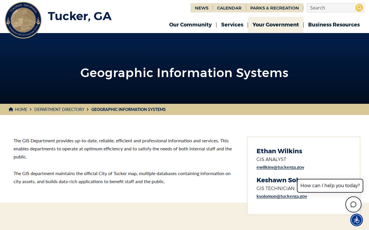
The map layer supplies jurisdiction context that a postal search cannot.
Tucker ZIP Terms Explained
Postal terms describe delivery operations, not ownership or political limits. They are still useful when read with the parcel. ZIP+4 can distinguish a delivery segment inside a larger ZIP. A carrier route groups stops assigned for delivery. Neither creates a legal neighborhood boundary.
- ZIP code
- A five-digit Postal Service routing area that may cross city and community lines.
- ZIP+4
- The extra four digits that refine delivery to a segment, building, or group of boxes.
- PO-box ZIP
- A ZIP assigned mainly or only to post-office boxes rather than ordinary street delivery.
- Unique ZIP
- A ZIP assigned to one organization receiving enough mail to need its own code.
- Carrier route
- A group of addresses served along one postal delivery path.
Research flagged 30085 as a possible post-office-box lead, but did not confirm its precise current scope from an authoritative inspected page. Verify a specific address with USPS instead of presenting 30085 as a settled Tucker coverage area.
Search Historical Tucker ZIP Labels
Older research needs more than today's ZIP code directory. Tucker's community identity predates both the 2016 city and modern boundary changes. A household might appear under Tucker, Stone Mountain, Atlanta, a subdivision name, a land lot, or a rural route. Postal and municipal labels can shift while the recorded parcel remains in the same place.
Search each plausible locality with the surname and street. Then use a legal description, deed book and page, subdivision plat, or mapped parcel to join the hits. DeKalb directories and maps can bridge years when a street name or number changed. A modern ZIP is useful for orientation but should not be projected backward as if it always described the same area.
Note: Keep the place label exactly as each old source prints it; normalize only after parcel or map evidence connects the records.
ZIP Limits Around Tucker
A ZIP code boundary answers where mail is sorted. The Tucker city line answers which municipal government has authority. DeKalb's parcel boundary identifies one taxable tract. A voting district assigns representation. These layers overlap, but none substitutes for another.
Use USPS ZIP verification for the delivery assignment. Use DeKalb appraisal and GIS for the parcel. Use Tucker GIS for incorporation and district context. If a city web portal cannot resolve an address, contact the records office with the full street address, date, and desired record type. Georgia Open Records Act requests should seek an existing record rather than ask an office to conduct research.
Do not infer too much. A shared ZIP does not prove two people live in the same city, district, neighborhood, or household.
Georgia ZIP Privacy Boundaries
A ZIP code is useful geography, but it does not open restricted personal records. The Georgia Attorney General's motor-vehicle privacy opinion explains why driver and vehicle address data remain subject to state law and the federal Driver's Privacy Protection Act.
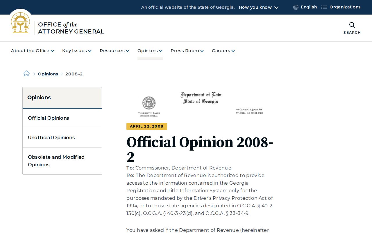
The opinion reinforces the boundary between public parcel or municipal ZIP context and protected driver information. Use USPS, Tucker GIS, and DeKalb parcel sources for address geography instead of trying to turn a ZIP into a private resident list.