
Walk Tucker Streets by Address
A Tucker street directory search works best as a chain of records, not as a single list of occupants. The public parcel roll identifies the assessed owner and the physical, or situs, address. GIS then places that parcel among the lots beside it. Deeds document title, while voter files and old reverse directories can add evidence of people tied to the address. None of those sources alone proves who sleeps there today. Used together, they separate a current owner, a tax-mail recipient, a registered voter, and a directory-era householder.
- Enter the situs address in the DeKalb County Property Appraisal search. Save the parcel ID, owner name, January 1 owner, mailing address, and deed or sale reference.
- Open the address or parcel in DeKalb GIS. Keep parcel outlines on, pan along the road, and click each lot rather than assuming a text search found the whole street.
- Use the official voter-file order route when a lawful street-level voter dataset is needed. My Voter Page checks one voter and is not a street browser.
- Search the assessed owner in LandmarkWeb as a grantee. Match the legal description, then follow each grantor backward through the deed chain.
- For a past household, consult the Tucker/Stone Mountain reverse directories at the DeKalb History Center and compare the street numbers in nearby years.
This street-by-street method is slower than a broad web search, but it leaves a trail that can be checked. Start with one verified lot. Record the source and date for each fact, especially because appraisal ownership can lag a recent deed and a directory can lag a move.
Tucker Street Directory Parcel Fields
The DeKalb County Property Appraisal search is the strongest first stop for a modern Tucker address. It can expose the parcel ID, owner, mailing and situs addresses, current and historical assessments, sales, exemptions, zoning, land use, building traits, permit tabs, and an assigned appraiser. An exemption may support owner occupancy, but it is not a household roster.
| Search field | Input | Required | Best use |
|---|---|---|---|
| Parcel ID | Text | No | Exact county parcel identifier |
| Address | Text | No | Situs or street-address search |
| Owner name | Text | No | Current assessment owner or entity |
| Search | Button | Action | Runs the selected query |
Read the mailing address separately. It is where assessment mail goes, not proof that the owner lives there. A trust, estate, business, representative, or owner at another address may receive the bill. The property page also gives the parcel's named appraiser and direct phone, a useful route when a field appears wrong.
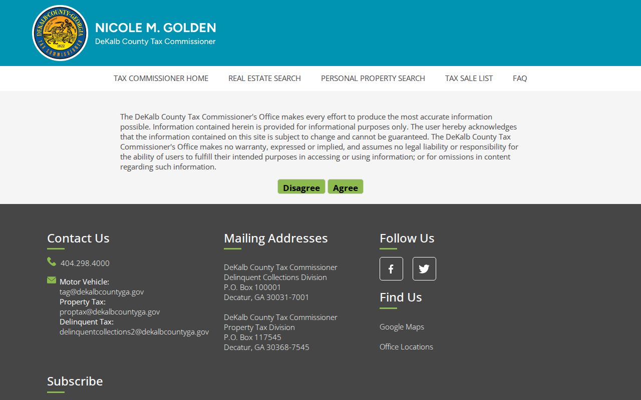
The DeKalb tax parcel search provides a second parcel-linked view.
Map a Tucker Street in GIS
The DeKalb GIS hub turns the street directory into a visual lot-by-lot task. Search an address or parcel ID, press Enter, keep parcel outlines visible, then click and pan. Available layers can add zoning, land use, flood, tax-district, and school-district context. Parcel data includes site address, first and second owner, postal address, subdivision or condominium, use, values, building traits, and parcel identifiers.
GIS geometry is informational. It is not a survey, and condominium units may repeat the same polygon. If an ownership or boundary question matters, use the recorded plat and deed. When the appraisal profile lacks a deed citation, the DeKalb GIS Mapping Team can identify the latest deed or plat book and page from an address or parcel ID. Staff do not supply the copy or settle a line dispute.
Note: One polygon can represent several condominium records, so click and compare parcel IDs before counting owners along a Tucker street.
Seven Deed Paths by Street
The local DeKalb LandmarkWeb index covers 1979 to the present and offers seven substantial paths: Name, Document, Book and Page, Parcel ID, Record Date Range, Instrument Number, and Legal. Old deeds may omit a modern street address, so an owner name, subdivision, lot, land lot and district, or book-page citation often works better. The clerk warns researchers to try every possible spelling variation.
Search the current owner as grantee, the party receiving title. Open the acquisition record and take its grantor, the party conveying title. Then search that grantor as an earlier grantee. Keep matching the legal description and citations. For records before the online cutoff, use public-access computers and surviving books at the Real Estate Division in Decatur. The Clerk reports surviving real-estate records from 1842 after earlier fire loss.
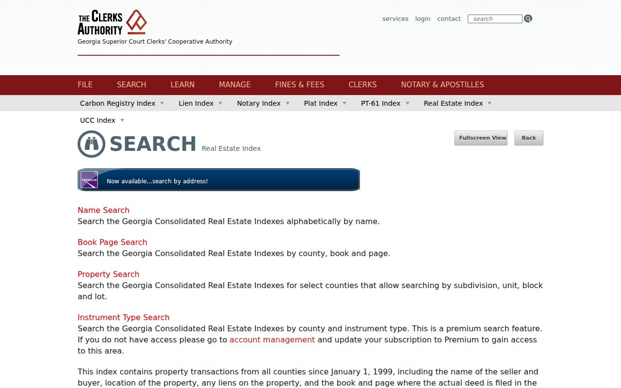
A page-specific view of the official alternatives appears in the GSCCCA real-estate index.
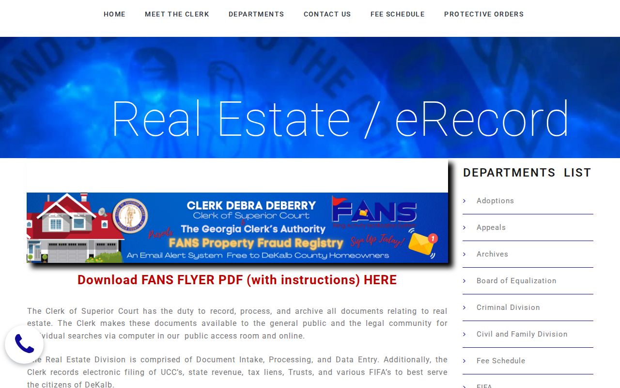
The DeKalb Clerk's Real Estate Division explains counter access, copies, and surviving records.
Tucker Records Organized by Street
Each address-keyed source answers a different question. The Tucker street directory chain is reliable only when the user preserves those limits. Property and deed systems identify owners. Reverse directories and released census schedules add household evidence from a given period. Permit and code files document an event at the address, not every person there.
| Record Set | Keeper | What It Shows | Access |
|---|---|---|---|
| Property appraisal | DeKalb Property Appraisal | Owner, mailing address, exemptions, sales | Free web search and counter |
| Parcel GIS | DeKalb GIS | Lots, adjacent IDs, zoning and districts | Free viewer |
| Deeds and plats | Superior Court Clerk | Named parties, title chain, legal description | LandmarkWeb, GSCCCA, counter, mail |
| Voter files | Secretary of State and DeKalb Elections | Permitted voter-list fields by geography | Paid order; protected fields excluded |
| Permits and code cases | Tucker or DeKalb custodian | Applicant, owner, agent and case event | Department records or written request |
| Reverse directories | DeKalb History Center | Selected-year occupants by street number | Archives appointment |
The parcel number is the stable bridge between appraisal, GIS, deeds, and some permits. A street name connects directory and voter material, but spelling and numbering can change. Keep both. For a modern named-street investigation, the Tucker street directory stays with current address records; deeper historical volumes belong to the Tucker city directory collections.
Read Tucker Address Types Carefully
A situs address is the physical location of a parcel. A mailing address is the destination for tax or appraisal notices. A legal description identifies land through recorded terms such as subdivision, lot, land lot and district, or metes and bounds. Those are distinct fields. Matching situs and mailing addresses, together with a homestead flag, supports an owner-occupancy inference but never proves the full household.
- Parcel
- A tract or unit assigned a county identifier for appraisal and mapping.
- Situs address
- The physical street address of the parcel.
- Plat
- A recorded map showing lots, dimensions, roads, and other legal layout details.
- Criss-cross directory
- A directory section arranged by street and number instead of surname.
The distinction matters on Mountain Industrial properties, which are often entity-owned with off-site mail, and in mixed areas near Northlake. Never turn a mailing mismatch into a claim that a home is vacant or that a listed person is absent.
Tucker Street Numbers Can Shift
DeKalb History Center's house-research guidance documents metro address changes in 1892 and 1926. Tucker also began as a railroad and post-office community in 1892, long before it became a city in 2016. A literal modern address can therefore fail in an older directory or deed. Bridge the gap with the subdivision, lot, legal description, mapped position, and neighboring names.
The five confirmed Tucker/Stone Mountain volumes, 1970, 1972, 1974, 1975, and 1976, can be read in reverse order by street. Earlier geography can be checked against the 1915 owner map, the 1969 Tucker plat map, topographic maps, and fragile Sanborn holdings where coverage exists. Absence from one volume means only “not found in this volume.”
Tucker Address Files Beyond Parcels
Permit, planning, occupational-tax, and code files can link an address with an owner, applicant, agent, contractor, respondent, or business contact. The right custodian depends on jurisdiction and date. Tucker incorporated in 2016, and annexations later moved some parcels into the city without changing their postal identity. Confirm city limits through Tucker GIS applications before asking City Hall for a file.
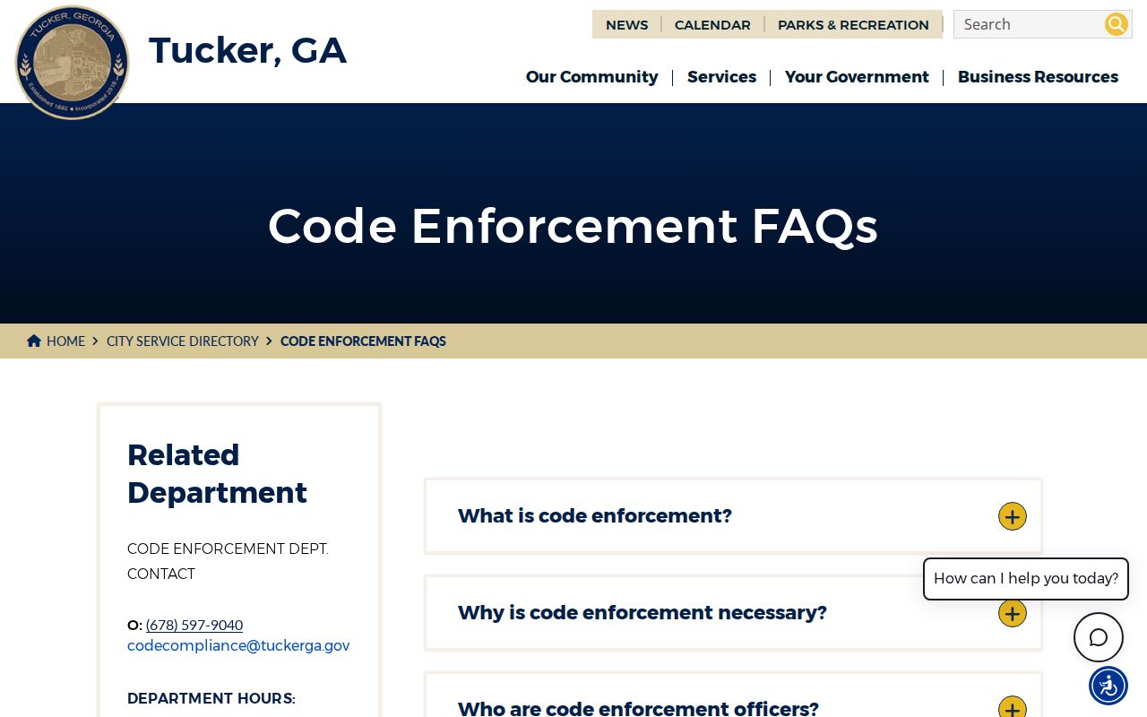
The Tucker code-enforcement information carries a useful privacy warning: a complainant's supplied name, phone, or email may be released under open-record law, while an anonymous complainant should provide no personal data. That file shows a report or case event. It does not show every occupant.
The official code page is shown below for context.
Tucker Voter Data by Street
Georgia offers two different routes that should not be confused. My Voter Page verifies one person's registration and polling information from identifying inputs. A street-level file comes through the Secretary of State's official voter-list order process or the county custodian. A request should name the desired fields, geography, status, and date. Protected and confidential fields remain excluded.
| Official route | Proper role in a street search |
|---|---|
| My Voter Page | Individual verification, not a public street browser |
| Municipal voter file | Ordered dataset; published schedule lists $65 |
| Statewide voter file | Broader ordered dataset; published schedule lists $485 |
Voter history states participation, never how a person voted. A registration address is evidence for that record date, not proof of every current resident at the home.
Limits of Tucker Street Records
A street directory cannot produce a complete, live roster of Tucker occupants. The assessor names assessed owners, which may be a trust, estate, company, or person elsewhere. Deeds document interests in land. Public voter material covers registered voters subject to legal limits. A reverse directory is only a dated publication. Renters, children, unlisted adults, and recent arrivals may not appear in any of them.
Georgia motor-vehicle address data is constrained by the federal Driver's Privacy Protection Act. Address-confidentiality programs can lawfully hide a protected residence. Utility accounts are not a substitute household roll. Treat a match as evidence from a named source and date, then confirm it through the custodian when accuracy matters.
Lawful use. Tucker address records support genealogy, deed research, civic review, and personal safety. Never use them to stalk, harass, intimidate, or harm anyone.